
It’s been a historic wet year. But drier weather could be coming.
Jul 28, 2025
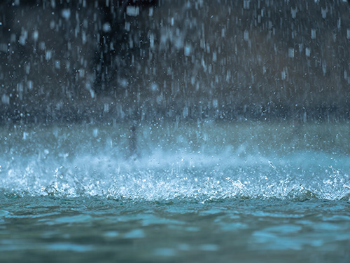
After last summer’s extreme drought, Tennessee sits in much better shape this year in terms of rainfall.
The Nashville Weather Service reported this has been the second wettest year on record since 1985. The area has seen 40.6 inches, which is about 10 inches above normal, said NWS Nashville forecaster Faith Borden.
“Corn has been beautiful this year,” Borden said. “The nice thing about excessive rain is we are avoiding a flash drought. If you get a heavy rain on a flash drought, you could lose the top layer of soil. And right now, you typically have crops in the ground.”
Although Borden said farmers in the Clarksville and Montgomery County area have witnessed the most rainfall this year — almost too much.
“Poor Clarksville. They have had 45.9 inches of rain since January,” Borden said. “They are 18.6 inches of rain above normal. Poor Clarksville is about all I can say. The good news is for the month of July they are below normal. But any good thunderstorm could put them back in the excessive rain category. We’ve had a lot of fronts and moisture.”
However, there are a few exceptions to the widespread rain and summer thunderstorms.
The U.S. Drought Monitor has a handful of counties in the abnormally dry range, which is the least severe level. Blount, Claiborne, Grainger, Knox, Loudon, Monroe Counties fall into that category, according to the latest data. The remainder of the state is out of the drought monitor this summer.
Borden said the next few weeks into August could be dry, which is positive for farmers trying to get in hay and combine rows of corn crops.
“In the next three to four weeks, we are looking about normal temperatures and below precipitation,” she said. “That is per the Climate Prediction Center. They predict on average below normal rainfall. So that is the ideal time if you’re a farmer trying to get something out of the ground.”